
Lightshadow
Walk in the shade.
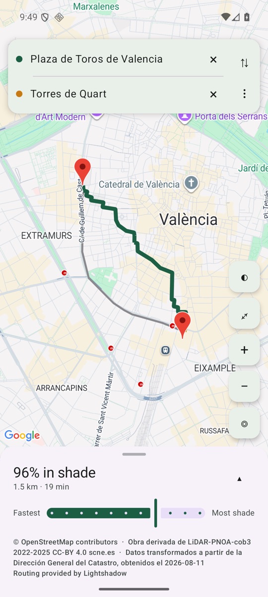
Tell it when you are leaving and Lightshadow picks the route and the side of the street with the most shade, and tells you how much of the walk is shaded compared with the fastest way.
Free, no account, no sign-up · Valencia
What it does
-
Shade for the hour you leave, not for right now
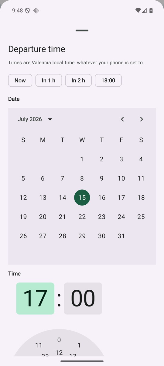
Pick the hour you will actually be on the street and the route is worked out for that sun. If you leave in a while, the shade will no longer be where it is now.
-
The side of the street, not just the street
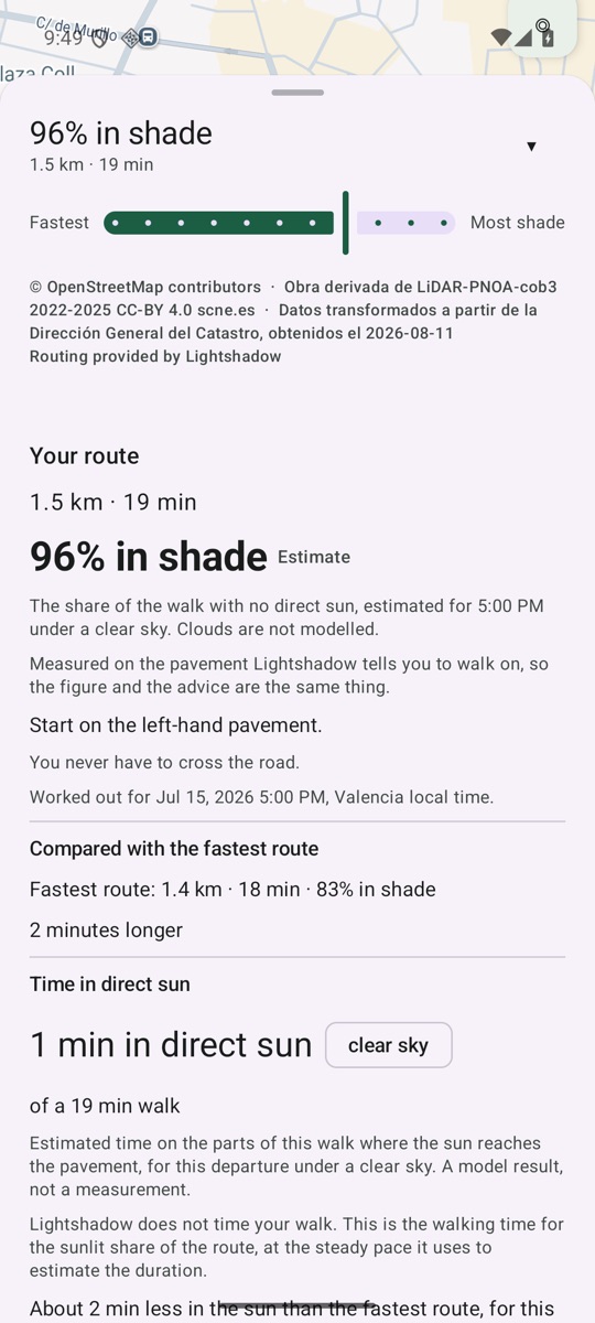
On the same street one pavement is in the sun and the one opposite is in shade. Lightshadow tells you which one to take, stretch by stretch.
-
You decide whether it is worth it
Next to the shadiest route you see the fastest one, and how much of the walk is shaded on each. Sometimes it is a few minutes more; sometimes it is the same route.
Your city is not there? Ask for it from the app: we count the requests.
It counts the trees
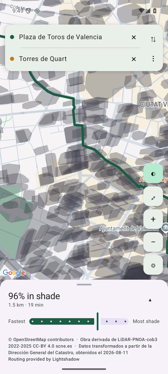
A model that sees only buildings misses the shade of the trees. Lightshadow counts them: it measures the tree crowns and the building heights of the whole city from open data.
The shade is calculated, not measured on the street: we have not yet checked it by walking.
Download for Android
Free, no account. Android 8.0 or later. You can also open it in the browser without installing anything. If you already installed the APK from here, uninstall it before installing from Google Play: the two copies are signed differently and the phone will not replace one with the other.
Privacy
The points you choose and the piece of map you look at reach the server. The points are kept rounded, without the exact time and with nothing that identifies you; the piece of map is not kept. No account, no identifier. The map is Google Maps: Google receives your IP address and the map area you look at, under its own policy. The search, today, is Google's too: what you type goes to Google, not to us; should our own index answer one day, what you type is kept the way the points are.
Full privacy policy: lightshadow.app/legal/privacy/en/.
Data and licences
- Street data © OpenStreetMap contributors, available under the Open Database License (ODbL).
- The routing graph is a derivative database of OpenStreetMap; the method by which it is built is published at lightshadow.app/method/graph/en/, as section 4.6(b) of the ODbL requires.
- Derived from LiDAR-PNOA-cob3 2022-2025 CC-BY 4.0 scne.es — Instituto Geográfico Nacional.
- Dirección General del Catastro. Data obtained on 17 September 2026, transformed. All rights reserved (licencia-tipo, Ley 37/2007). The derived product shown here is not cartografía catastral and not información catastral.
- Ajuntament de València: Vorades / Bordillos and Barris / Barrios i Districtes / Distritos, CC BY 4.0.
- Derived from MDS05 2008-2015 and MDT05-cob1 2008-2015 CC-BY 4.0 scne.es — Instituto Geográfico Nacional.